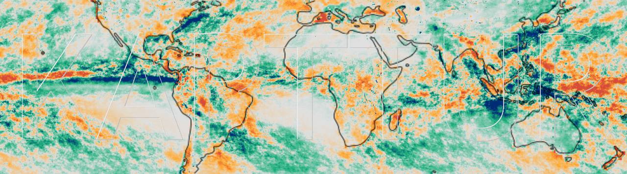
Karttur’s GeoImagine Framework offers a semi-automated processing environment for spatial data, mainly intended for Big Data processing of satellite images and other spatial datasets. To work with the Framework your machine must first be set up with a Spatial Data Integrated Development Environment (SPIDE) as described in my blog on Install and setup spatial data IDE.
At the core of the Framework are object oriented processes. These processes are assembled in groups (called roots), where each group is associated with either a particular data source (e.g. MODIS, Sentinel, Landsat, ancillary etc), or a particular kind of process (e.g. time series processing, scalar, overlay, export etc). Many root processes are also associated with a specific, purpose-built, Python package.
To search for a particular package or process, use these links to browse the content of Karttur’s GeoImagine Framework:
Preparations
If you intend to setup a clone, or your own version, of Karttur’s GeoImagine Framework you first need to create a Python environment. It is strongly recommended that you do that as a Conda virtual environment.
The second step is to Get Karttur’s GeoImagine Framework into Eclipse, where Eclipse (for PyDev) is also part of the SPIDE installation.
Then you also have to prepare the database connections for the PostgreSQL database installed as part of the SPIDE. Before actually running any of the processes it will help if you get acquainted with the conceptual backbone. After that you can follow the step-by-step posts in the setup section.
The blog contains various examples processing different kinds of data in the Framework. Under Develop you find instructions for how to setup your own version of the Framework.
Python environment and database connection
Conda virtual environments II Create Conda environment for Karttur’s GeoImagaine project Database connections Setup database connections for Karttur’s GeoImagine Framework
Get Framework
Options for getting project to Eclipse Options for importing Karttur’s GeoImagine Framework as a PyDev project to Eclipse Git clone with Eclipse Clone Karttur’s GeoImagine Framework from GitHub using Eclipse Git clone with GitHub Desktop and terminal Clone Karttur’s GeoImagine Framework from GitHub using GitHub Desktop and the terminal Fork your own Framework Clone Karttur’s GeoImagine Framework from GitHub using GitHub Desktop and the terminal Import Project to Eclipse Import Karttur’s entire GeoImagine Framework as a PyDev project to Eclipse Copy and paste Karttur's GeoImagine Framework Copy and paste selected packages and modules of Karttur’s GeoImagine Framework in Eclipse
Concept
Framework key concepts Key concepts: processes and compositions, and how they are represented in xml. Running processes How to run processes in Karttur´s GeoImagine Framework
Setup
Set up the database (setup_db) Run the setup_db package to setup the postgres database for Karttur’s GeoImagine Framework Setup processes (setup_processes) Setup the processes for Karttur’s GeoImagine Framework Regions Setup the regions for Karttur’s GeoImagine Framework Transfer data to Karttur's GeoImagine Framework Transfer data to Karttur’s GeoImagine Framework
Blog
Accessing archived Landsat data Order and download Landsat surface reflectance corrected products Africa water balance and soil moisture Africa water balance and soil moisture” Regional synthesis: 3 Extract regional vertical water balance Tile and mosaic global vertical water balance to user defined region Regional synthesis: 2 Extract regional precipitation Tile and mosaic global precipitation to user defined region Regional synthesis: 1 Create region Create user defined project and region
Develop
Git commandline Install Git command line tool Setup Eclipse teamed with GitHub repository How to use a GitHub repository as a shared project enviroment in Eclipse GitHub Submodules Organize GitHub repositories with python packages as submodules GitHub branches GitHub branches The Seasonal python package Edit the python package seasonal.
Depreciated
Git commandline Install Git command line tool Setup Eclipse teamed with GitHub repository How to use a GitHub repository as a shared project enviroment in Eclipse GitHub Submodules Organize GitHub repositories with python packages as submodules GitHub branches GitHub branches The Seasonal python package Edit the python package seasonal.