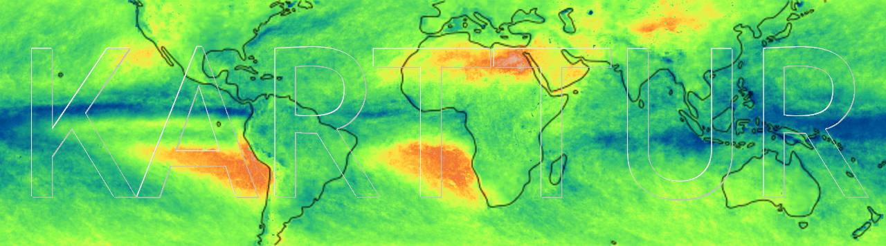
Map: Standard deviation for rainfall 2001-2016, global tropics
GeoImagine
Karttur’s GeoImagine Framework is a Spatial Data Integrated development Environment (SPIDE) that can be used to script your own Earth. It is a toolbox for advanced handling of spatial data. To use the Framework you first have to Install and setup spatial data IDE and then you can jump into Karttur’s GeoImagine Framework.
Projection system setup Setup custom projection system - SWEREF99 Guatemala Landslides Remote sensing and landslides in Guatemala Sub Saharan Africa soil moisture Remote sensing and soil moisture dynamics of Sub-Saharan Africa The Okavango Delta, Botswana. Okavango articles and data Background material, studies and results related to the Oakvango inland delta in Botswana from my PostDoc period at the University of the Witwatersrand, Johannesburg, South Africa. Travels Private and professional travels to trivial and exotic places. Private and professional travels to trivial and exotic places. Machine learning models Machine learning prediction models with Python. Introduction to applied machine learning modelling in Python. Karttur's GeoImageine Framework Manuals for setting up and running Karttur’s GeoImagine Framework. The blog contains two separate parts: 1) setting up Karttur’s GeoImagine Framework, and 2) tutorial examples on how to use the Framework. GeoImagine Code The complete code for Karttur´s GeoImagine Framework. Karttur´s GeoImagine Framework is written in Python and built using Eclipse as a shell package that contains all the included packages as submodules. Install and setup spatial data IDE Install and setup spatial data integrated development environment (SPIDE) The blog covers installing components for Karttur’s spatial data integrated development environment (SPIDE), including 1) Geographic Information Systems (GIS) [GDAL, QGIS and GRASS], 2) Python platform [Anaconda], 3) IDE [Eclipse], and 4) Database [postgreSQL]. The blog extensively covers how to install and link these components in Mac OSX, with a summary for Linux (Ubuntu 18-04).