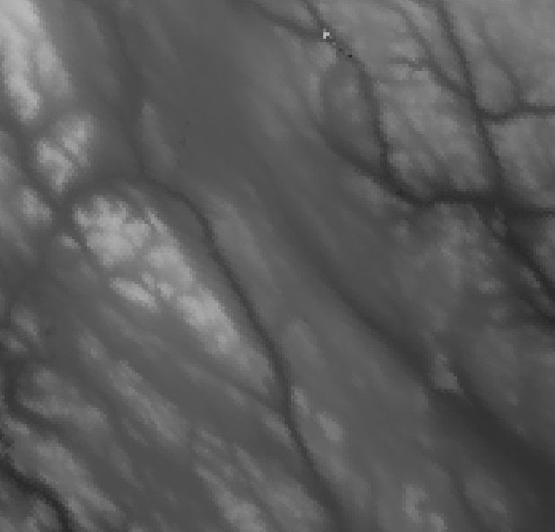
From a Digital Elevation Model (DEM), like the Arctic DEM introduced in the previous post, a range of terrain metrics can be extracted. Perhaps the most common metrics are slope and aspect where slope is the steepness and aspect the horizontal direction of the slope. To illustrate the 3D character of a DEM, the hillshade can be computed and set as an opacity-transparency mask.
Overview
This post covers the processing of hillshade, slope and aspect from DEM data tiled to the modis system. In Karttur’s GeoImagine Framework, the standard terrain metrices are all calculated using the GDAL DEM utility (gdaldem).
The next post introduces metrics that can be used for capturing elevation variations and positions. More advanced terrain metrics can be extracted by using the GRASS raster command r.param.scale (https://grass.osgeo.org/grass74/manuals/r.param.scale.html).
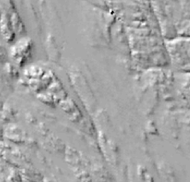
Hillshade
The hillshade outputs an 8-bit raster with a shaded relief effect useful for visualizing the terrain. You can optionally specify the azimuth and altitude of the light source, a vertical exaggeration factor and a scaling factor to account for differences between vertical and horizontal units.
xml
The xml parameters that can be given are identical to the parameters in the GDAL DEM utility (gdaldem). Note that the destination cellnull is fixed at -9999.
All destination layers have default names that builds on the input DEM and the spatial aggregation.
You can generate separate terrain metrics for each MODIS tile, and fill the edge by setting the parameter compute_edges to True. The edges will not be as accurate as the internal pixels and if you want to create a more correct terrain metrics you should mosaic the data prior to extracting the metrics.
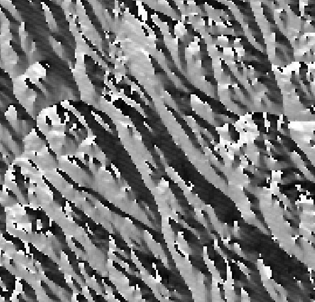
The slope outputs an 32-bit Float raster with a slope in degrees unless the -p (percent) parameter is set.
xml
The xml parameters that can be given are identical to the parameters in the GDAL DEM utility (gdaldem). Note that the destination cellnull is fixed at -9999.
The destination layer organization is defaulted and can not be set by the user.
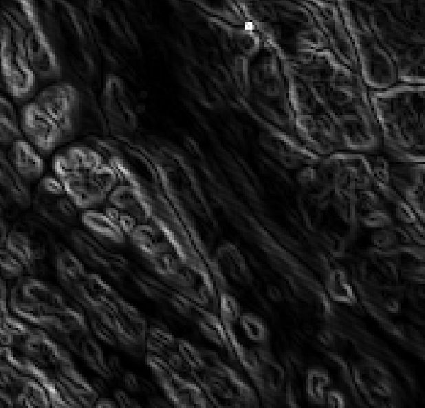
The slope outputs an 32-bit Float raster with azimuth in degrees; if the parameter -trigonometry is given, the output is in angle degrees with zero set to the East (rather than North).
xml
The xml parameters that can be given are identical to the parameters in the GDAL DEM utility (gdaldem). Note that the destination cellnull is fixed at -9999.
The destination layer organization is defaulted and can not be set by the user.