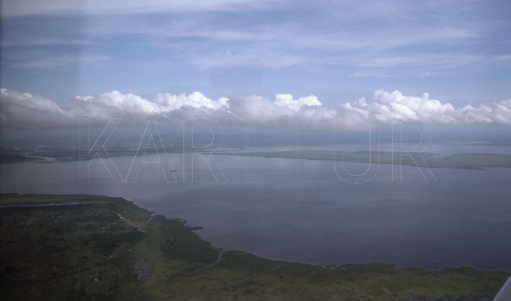
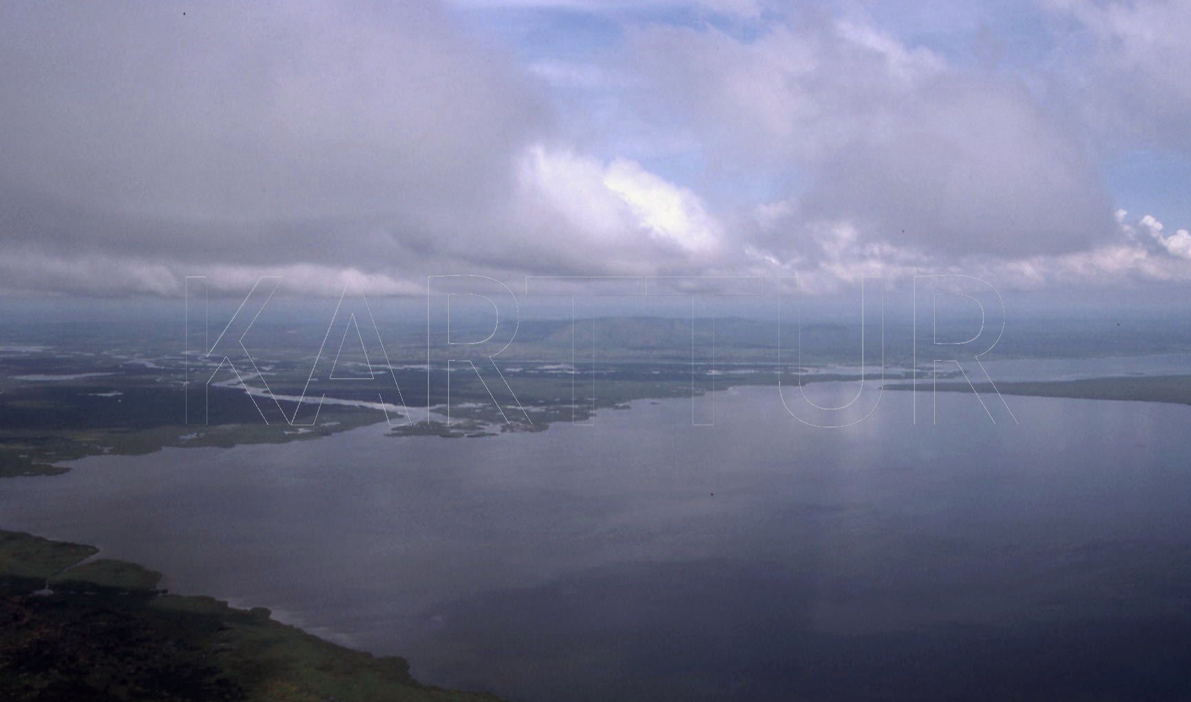
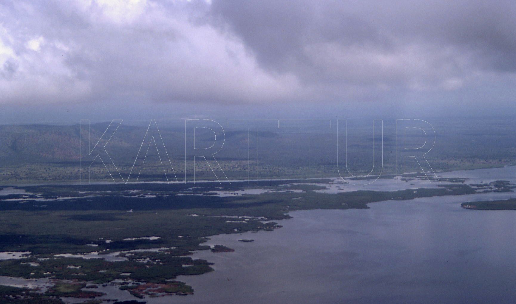
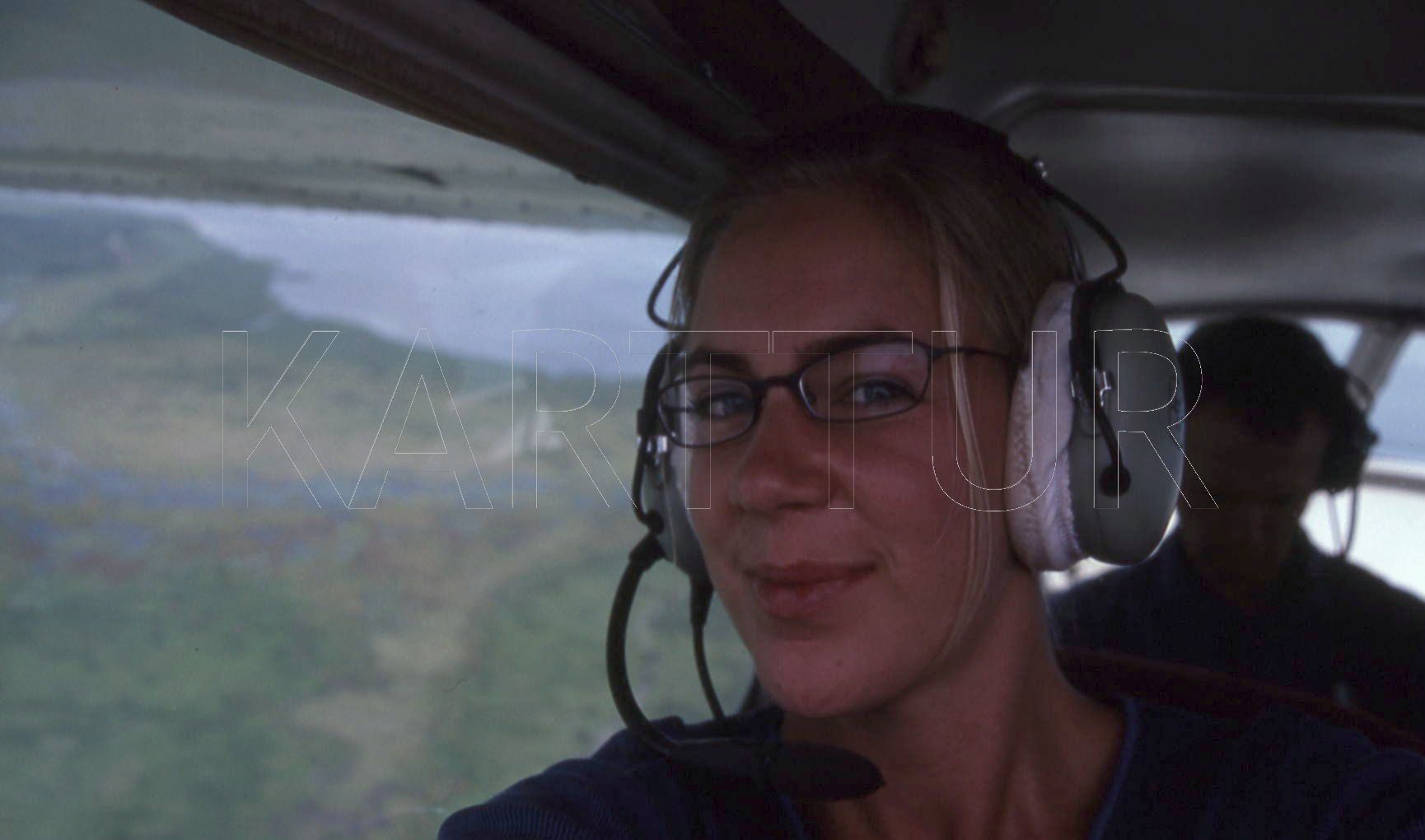
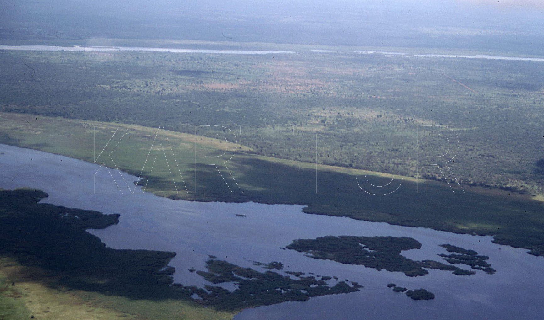
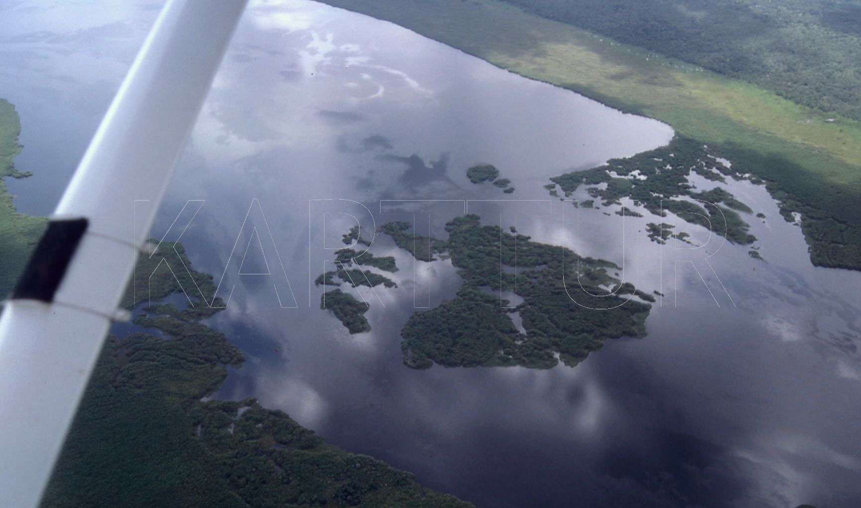
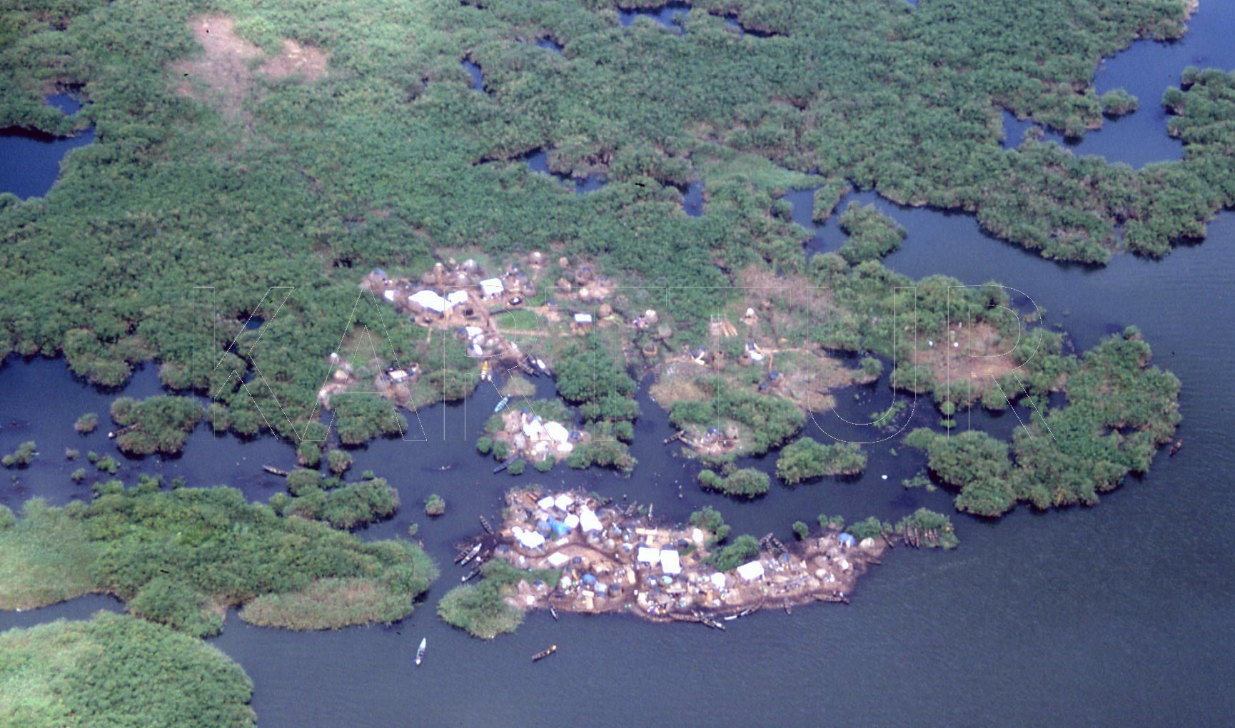
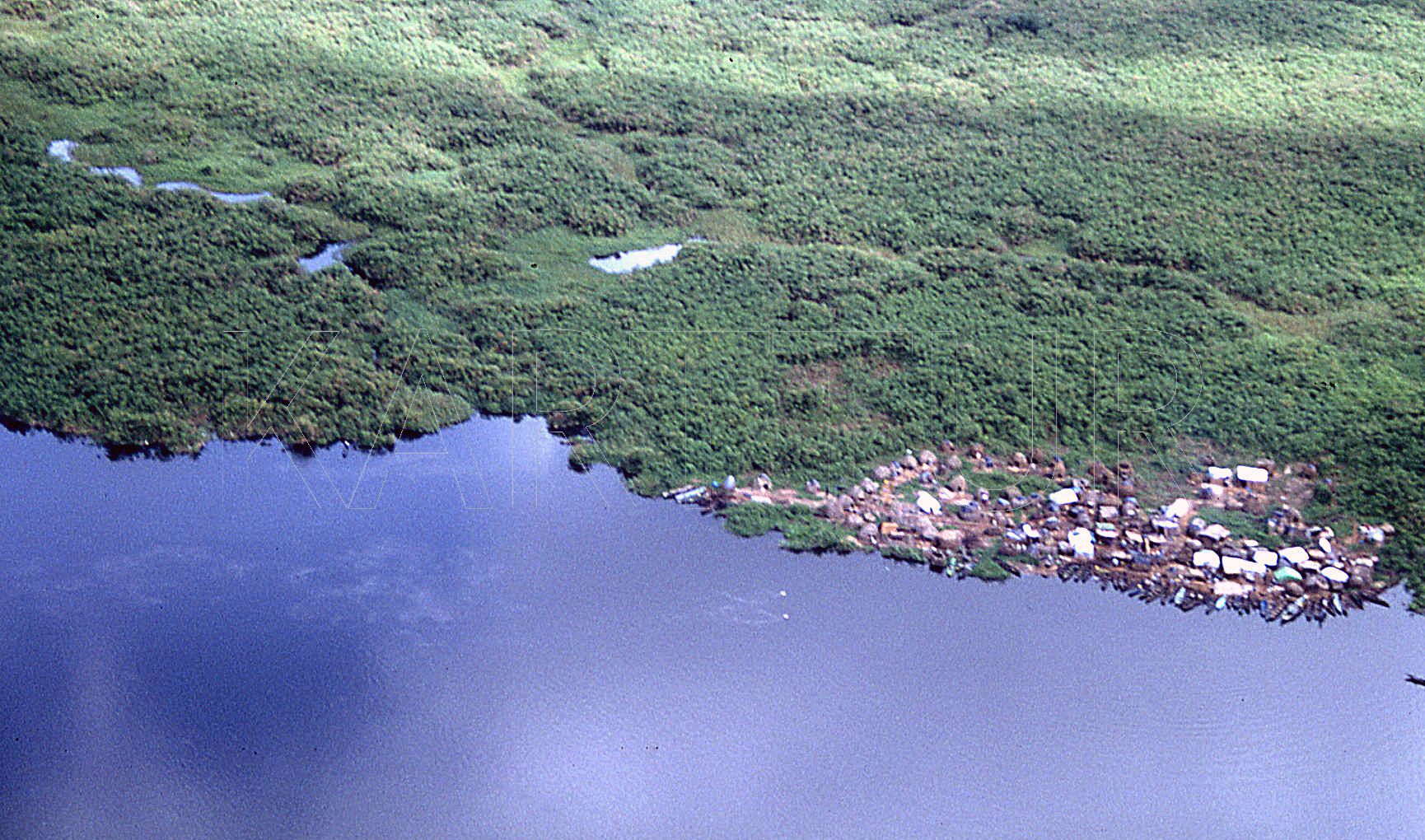
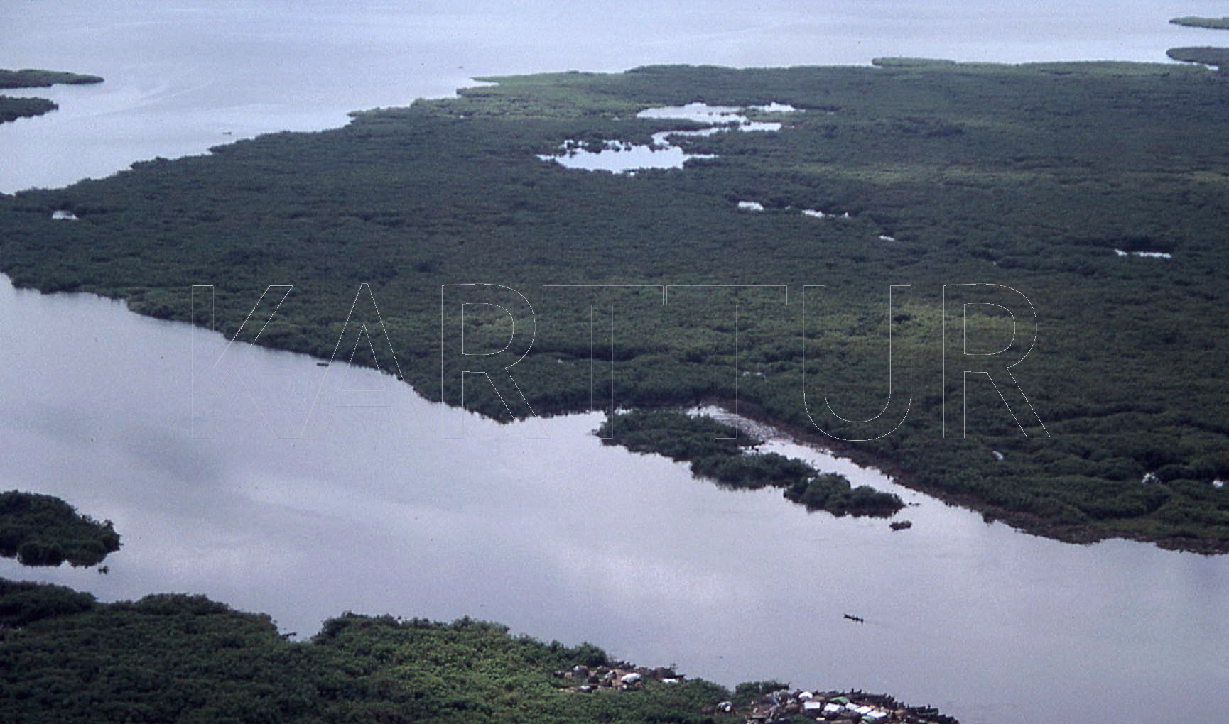
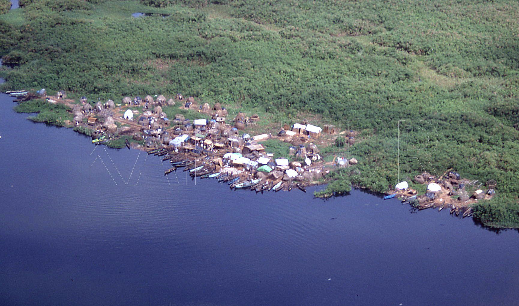
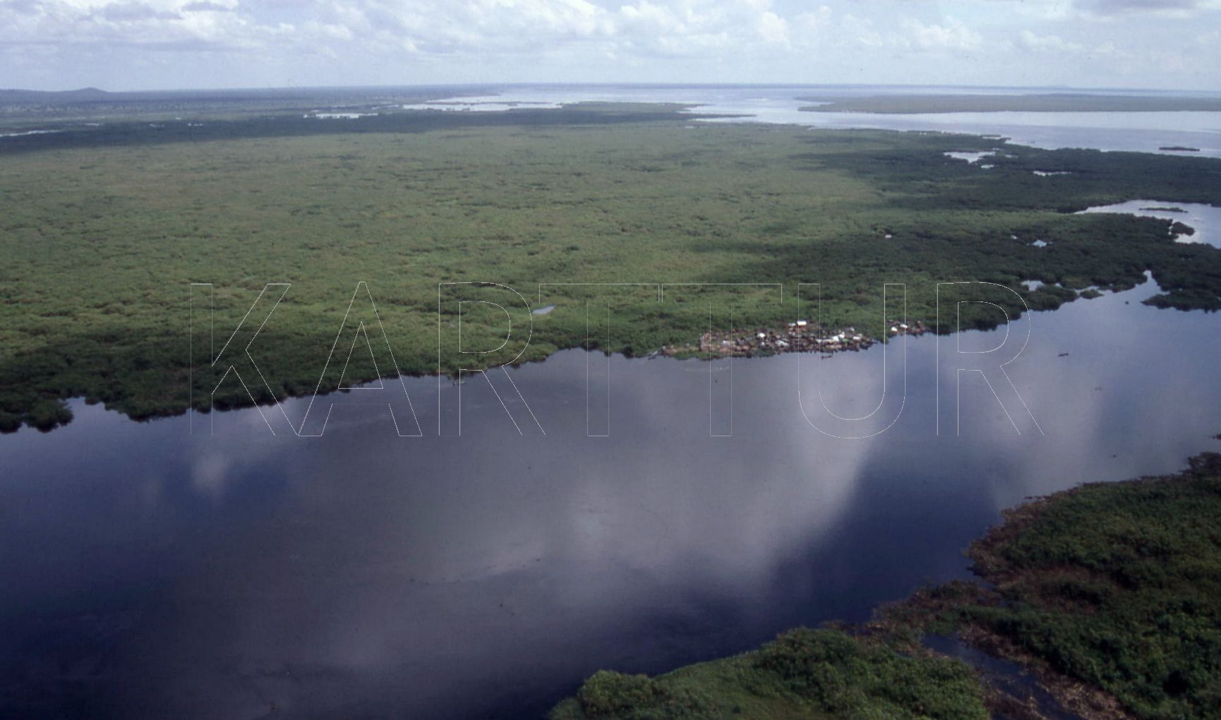
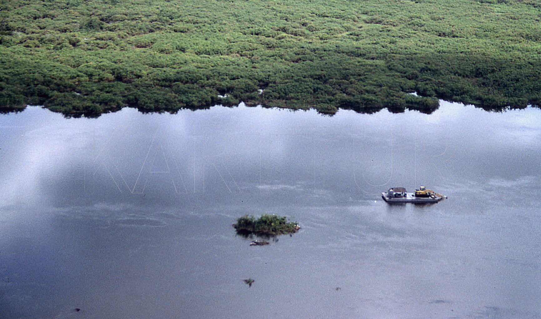
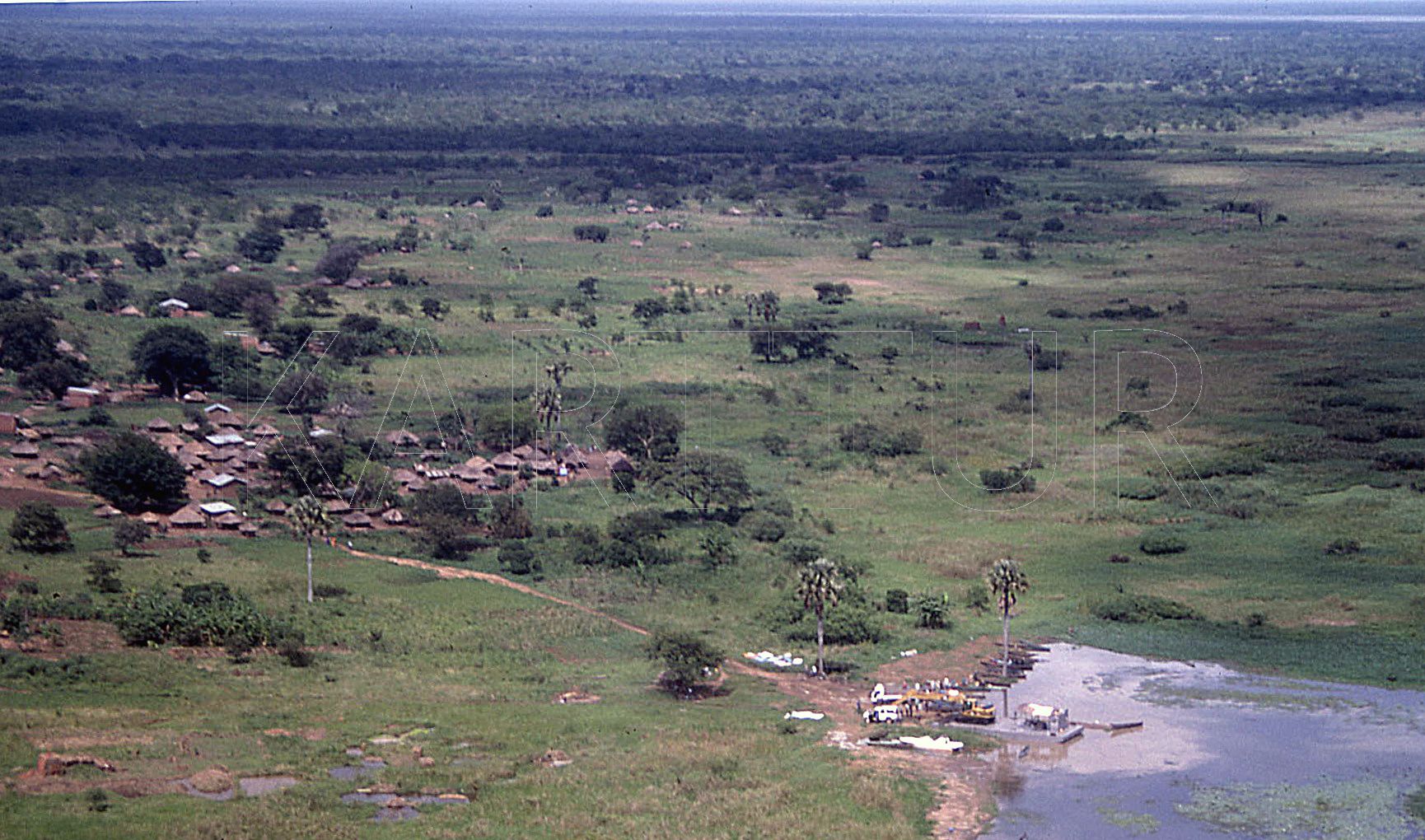
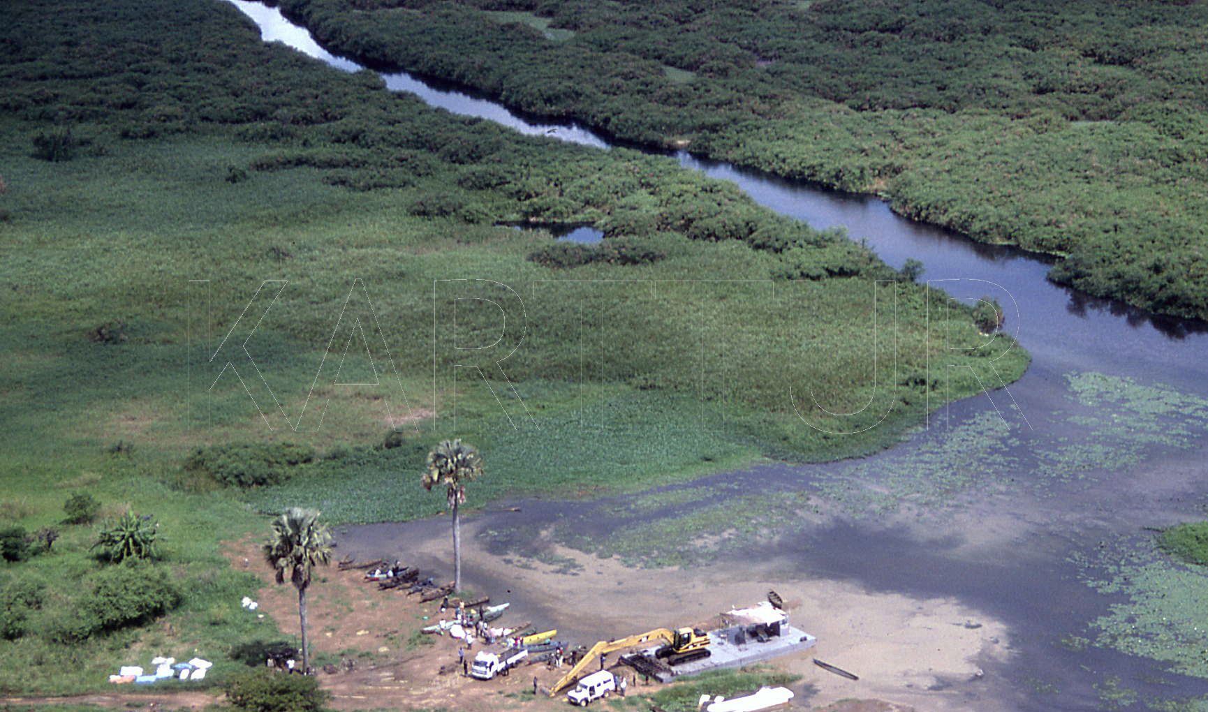
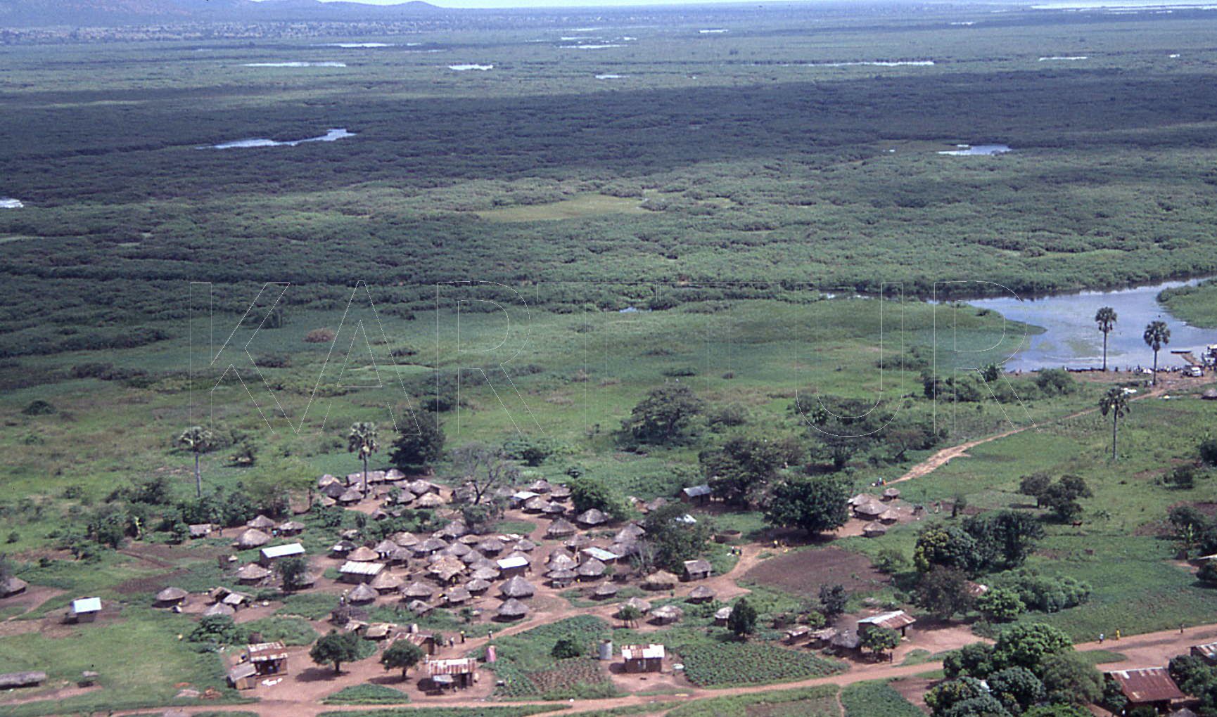
Thomas Gumbricht, October 2002, Lake Kyoga, Uganda

Photos taken during reconnaissance flight over Lake Kyoga in Ocotber 2002. Photos taken by Camilla Andersson and Thomas Gumbricht. Slide cursor over images to view clear photo, click any image to see all photos in large size. The results of the study integrated management of Lake Kyoga natural resources are available on my professional project pages.

image image image
Aerial photos of Lake Kyoga, along southern shore from the River Nile inlet to the outlet.
image image image image image image image image image
Aerial photos of the papyrus plug that clogged the outlet of Lake Kyoga during the El Nino 1997/98 and led to a rise in Lake level, expanding Lake Kyoga.
image image image
Aerial photos over the Nile River after the Lake Kyoga outlet (downstream of the payrus plug).
image image image image image image
Aerial photos over the (illegal) villages built on floating papyrus mats in the plug of papyrus that formed at the outliet of Lake Kyoga duing the the 1997/98 El Nino. The lower right image shows the excavating equipment that was used to dig canals through the papyrus plug. The excavation was paid for by the Government of Egypt, as a mean to protect the Egyptian right to Nile waters
image image image
Aerial photos over fishing village on the southern shores of Lake Kyoga. The village is also the landing site for the excavation equipment used for clearing the papyus plug.